![](/images/other/stat-length.png)
![Randonnée A pied Bad Berleburg - WaldSkulpturenWeg - Wittgenstein-Sauerland - Photo](https://media.geolcdn.com/t/1900/400/ext.pjpeg?maxdim=2&url=https%3A%2F%2Fmedia.geolcdn.com%2Ff%2Ffa125998-2caa-4393-aaff-ac83a075ba7d.jpeg)
WaldSkulpturenWeg - Wittgenstein-Sauerland
SityTrail - itinéraires balisés pédestres
Tous les sentiers balisés d’Europe PRO
![Longueur](/images/other/stat-length.png)
![Altitude max](https://static1.geolcdn.com/siteimages/upload/files/1508320355ic_sort_altitude_max_24dp.png)
![Dénivelé positif](https://static1.geolcdn.com/siteimages/upload/files/1508320355ic_sort_den_pos_24dp.png)
![Km-Effort](/images/other/stat-length.png)
![Altitude min](https://static1.geolcdn.com/siteimages/upload/files/1508320355ic_sort_altitude_min_24dp.png)
![Dénivelé négatif](https://static1.geolcdn.com/siteimages/upload/files/1508320355ic_sort_den_neg_24dp.png)
![Boucle](https://static1.geolcdn.com/siteimages/upload/files/16400158638029165_repeat_loop_refresh_sync_direction_icon.png)
![A pied](https://static1.geolcdn.com/sitytour/trail-icons/100.png)
7h06
Difficulté : Difficile
![Scannez ce code QR pour ouvrir la randonnée dans l'application SityTrail](https://capi.geolives.com/qq0zvz2zws4bq2lad0pu/sitytour/trails/3090617/qr.png?size=200)
Application GPS de randonnée GRATUITE
À propos
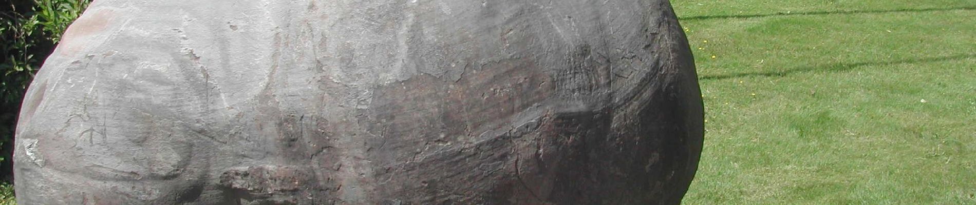
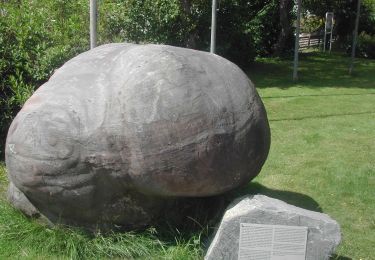
Randonnée A pied de 23 km à découvrir à Rhénanie-du-Nord-Westphalie, Kreis Siegen-Wittgenstein, Bad Berleburg. Cette randonnée est proposée par SityTrail - itinéraires balisés pédestres.
Description
Erleben Sie schwingende Landschaften und Erholung pur im Schmallenberger Sauerland und der Ferienregion Eslohe. Ob Wanderurlaub, Urlaub für Familien oder Wellness- und Gesundheitsurlaub: Unsere Kurorte und Gastgeber bieten vielfältige Unterkünfte für alle Ansprüche.
Site web: https://www.waldskulpturenweg.de/
Localisation
Commentaires
Randonnées à proximité
![Randonnée A pied Bad Berleburg - westlicher Rothaarsteig-Zuweg Bad Berleburg - Photo](https://media.geolcdn.com/t/375/260/ext.jpg?maxdim=2&url=https%3A%2F%2Fmedia.geolcdn.com%2Ff%2Ffa125998-2caa-4393-aaff-ac83a075ba7d.jpeg)
![A pied A pied](https://static1.geolcdn.com/sitytour/trail-icons/100.png)
A pied
![](/images/other/stat-length.png)
![](https://static1.geolcdn.com/siteimages/upload/files/16400158638029165_repeat_loop_refresh_sync_direction_icon.png)
![Randonnée A pied Bad Berleburg - Wittgensteiner Schieferpfad - Photo](https://media.geolcdn.com/t/375/260/ext.jpg?maxdim=2&url=https%3A%2F%2Fstatic1.geolcdn.com%2Fsiteimages%2Fupload%2Ffiles%2F1545311037marcheuse_200dpi.jpg)
![A pied A pied](https://static1.geolcdn.com/sitytour/trail-icons/100.png)
A pied
![](/images/other/stat-length.png)
![](https://static1.geolcdn.com/siteimages/upload/files/16400158638029165_repeat_loop_refresh_sync_direction_icon.png)
![Randonnée A pied Bad Berleburg - Heinz Suter Weg - Photo](https://media.geolcdn.com/t/375/260/ext.jpg?maxdim=2&url=https%3A%2F%2Fstatic1.geolcdn.com%2Fsiteimages%2Fupload%2Ffiles%2F1545311037marcheuse_200dpi.jpg)
![A pied A pied](https://static1.geolcdn.com/sitytour/trail-icons/100.png)
A pied
![](/images/other/stat-length.png)
![](https://static1.geolcdn.com/siteimages/upload/files/16400158638029165_repeat_loop_refresh_sync_direction_icon.png)